
Home > Services > UAS / Drone survey
Do you need a large-scale or critical-area survey?
Our advanced technologies ensure efficiency, safety, and high precision across every phase of your project.
Aerial photogrammetry, airborne LiDAR, and Large-Scale Topographic Surveys
Asset inspection and monitoring (bridges, buildings, structural degradation, and more)
Assess the status of a construction site (State Progress of Works)

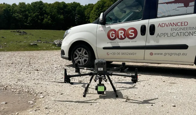
UAS / DRONE SURVEY
Surveys carried out using Remotely Piloted Aircraft Systems (RPAS) enable the acquisition of high-resolution spatial data quickly, accurately, and non-invasively. The use of drones represents an effective solution for surveying large or hard-to-reach areas, providing a comprehensive and georeferenced overview of the surveyed site.
This activity is part of our ongoing commitment to enhancing and expanding our professional expertise, with a focus on integrating traditional surveying methods with advanced technological instruments. The employment of these technologies raises the quality and precision of territorial analyses while improving operational efficiency and data reliability.
Each mission follows a structured operational workflow, which includes: verification of air traffic regulations (ENAC/ENAV), aerial reconnaissance, mission planning, flight execution/data acquisition, data processing and analysis.

Highly qualified UAS pilots: A1/A3, A2, STS01/02
Our UAS pilots are highly qualified and hold A1/A3, A2, and STS-01/02 certifications, allowing them to operate also within the “Specific” category.
Each flight mission is conducted in VLOS (Visual Line of Sight), in full compliance with EASA and ENAC regulations and standardized operational procedures.
This approach ensures the highest levels of safety, precision, and reliability in all our aerial surveying and monitoring operations.


CORRELATED TECHNOLOGIES
LiDAR DRONE
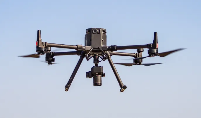
Photogrammetry drone
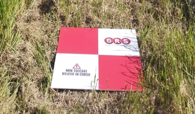
GCP (Ground Control Point)
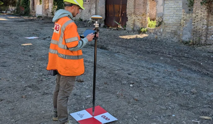
Topographic survey by GNSS
CASE HISTORY

International Airport of Fiumicino
ADR S.p.A.
Roma – 2025
As-built survey of the largest self-consumption photovoltaic installation within a European airport, carried out in the areas adjacent to the runway strips at Leonardo da Vinci International Airport (Rome Fiumicino). The survey was conducted within active air traffic conditions, without interrupting airport operations.

Province of Rome
Falcon Holding d.o.o.
City of Campaegli – 2025
Topographic and environmental survey carried out to document the existing conditions of the area, supporting potential future real estate developments. The survey included the classification and mapping of both anthropogenic (man-made) and natural features.

City of Rome
Risorse per Roma S.p.A.
ROMA – 2024
Topographic survey carried out in support of the design of the hydraulic intake and return works and the expansion basin of the Palocco Canal. The activity included the creation of a Digital Terrain Model (DTM), high-resolution orthophotos, and cross-sections of the existing canal.
REFERENCES


Fill in the form or call us at
A GRS specialist will contact you to address your needs.