
Home > Services > Geodesy, Surveying, Geomatics
Do you require a geometric survey
that precisely captures the state and condition of the location?
Our survey systems ensure accurate responses to various demands:
- Comprehensive acquisition of site conditions using a vehicle-mounted mobile laser scanner or drone lidars.
Detailed surveys of large buildings or artworks using static LS technology.
High data accuracy, density, and precision, enabling seamless integration into BIM systems with the highest Levels of Development (LODs).

Geodesy, Surveying, Geomatics
The surveying of the location’s status, coupled with project tracking, has consistently been one of GRS core services. Surveying technology has evolved over time, thanks to new equipment and the enhanced computational power of modern workstations, along with new analysis methodologies.
Advanced laser scanner equipment conducts surveys of various locations, accommodating different scales of representation to provide the Contractor with diverse levels of survey information. For many years, GRS has remained at the forefront by utilizing state-of-the-art equipment and innovative technologies, responding increasingly effectively and efficiently to the demands of the most discerning customers.
CORRELATED TECHNOLOGIES
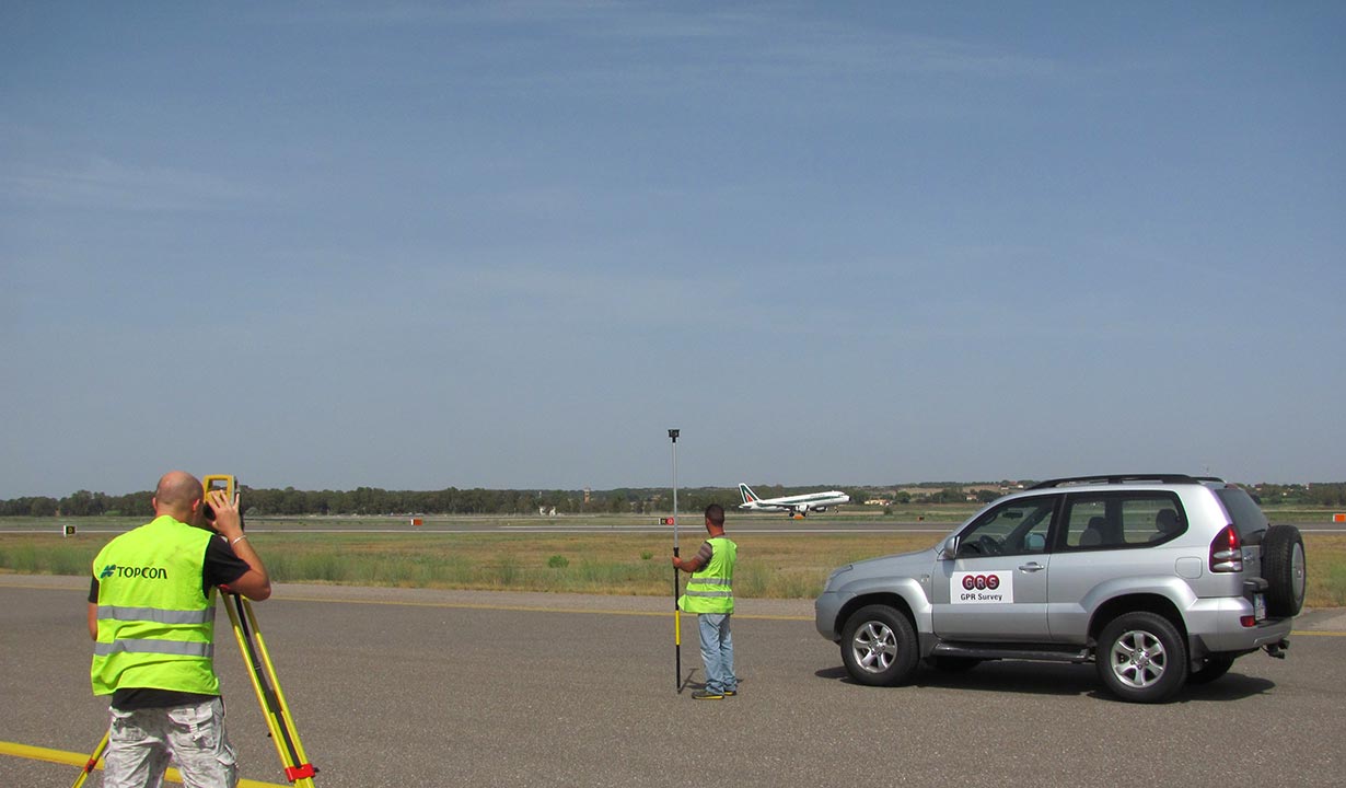
GNSS for topographic surveys
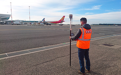
GNSS for topographic surveys
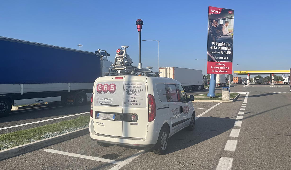
Mobile Laser Scanner
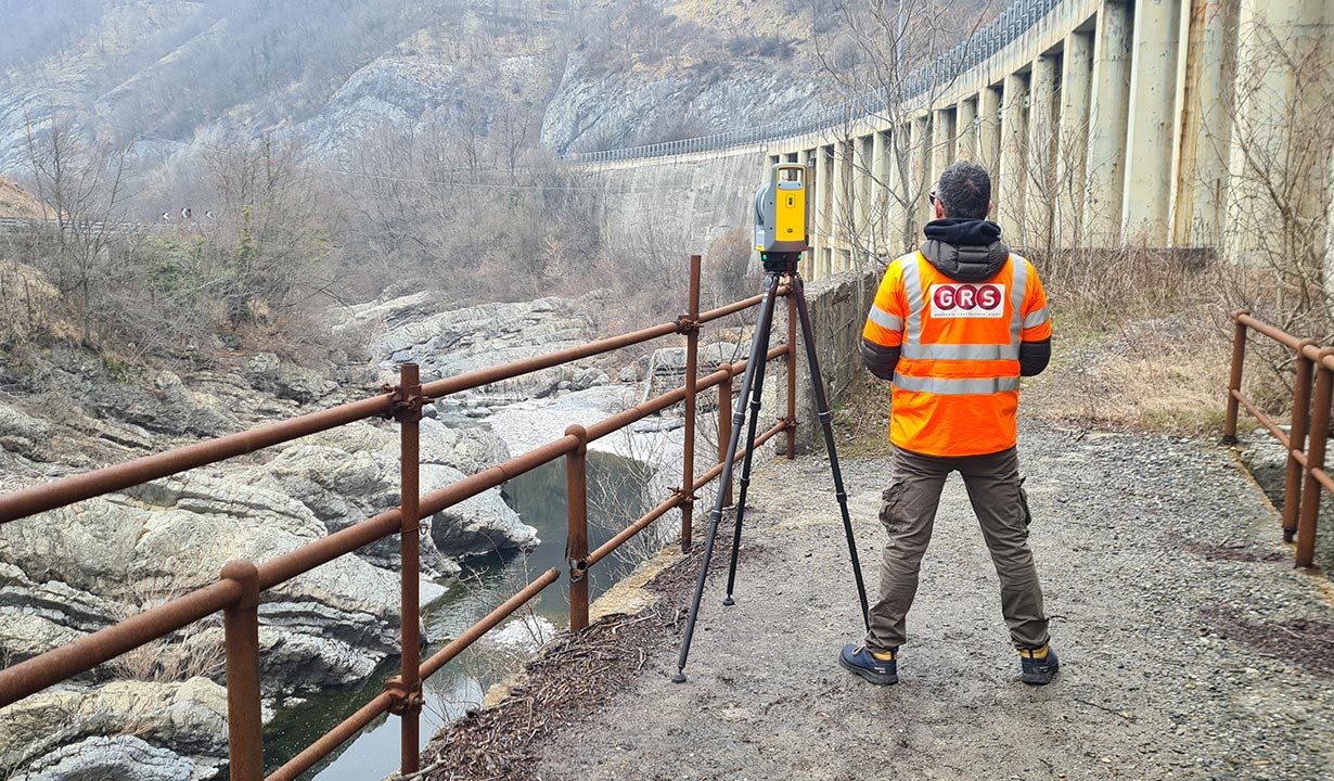
Static Laser Scanner
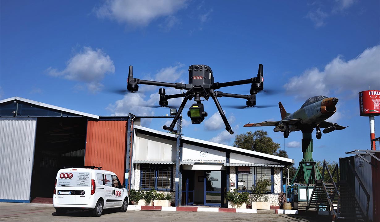
Drone Lidar
CASE HISTORY

Elmas Airport
SO.G.AER S.p.A.
Cagliari – 2022
Surveys, monitoring of the condition of rigid and flexible pavements by measuring surface defects and the generation of the relative pavement condition index (PCI).

Motorways
GORIMA Costruzioni S.p.A.
CAMPANIA REGION – 2020
Evaluation and definition of the road superstructure thicknesses of the A1, A16 and A30 motorways

“Leonardo Da Vinci” Airport
ADR Infrastrutture S.p.A.
FIUMICINO- 2022
Advanced use of 3D GPR technology for subservice surveys, reinforced concrete slabs, buried objects in general, and stratigraphy on the Bravo taxiway and surrounding areas.
REFERENCES


Fill in the form or call us at
A GRS specialist will contact you to address your needs.